In March 2015, I trekked the Tamang Heritage Trail. A month after, the April 25 earthquake struck destroying the villages and the trail. Rebuilding of the villages and reconstruction of the trail are still underway. The ongoing fuel crisis has it made quite challenging recently, as in the whole of Nepal. But along with the Tamang people and of all Nepalese, I have hope that one day (hopefully soon), the villages and its people will recover.
This whole trip to Nepal wasn’t part of my plans for 2015 until Patti, a friend I met in Burma, invited me to join her on a trek. Everything worked out and I was able to get a 3-week holiday from work. We were supposed to do Manaslu Circuit but there were a lot of snowfall the week before our arrival that resulted to a part of the trail being closed. So we decided to do Tamang Heritage and Gosaikunda (holy lakes) instead, since I’ve been to Langtang Valley back in 2013. But weather was still not on our side as more snowfall made it hard to cross the Gosaikunda pass. So we opted to do Langtang Valley instead of going back to Kathmandu early. I feel lucky to have had the chance to trek the Tamang Heritage Trail and Langtang Valley (the second time around) before the earthquake struck; and to have had the chance to capture its beauty before all the devastation.
TAMANG HERITAGE TRAIL
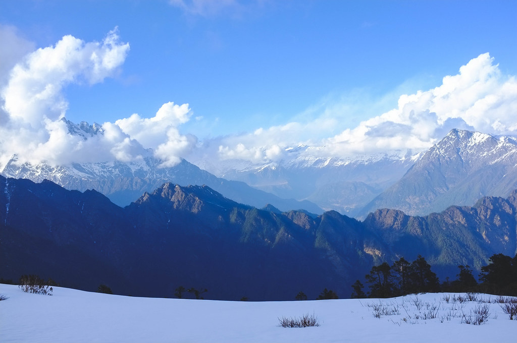
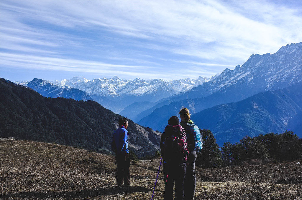
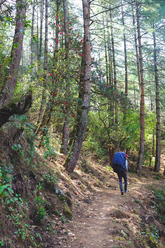
The Tamang Heritage Trail is a fairly new trekking route and is said to be a nice addition to the Langtang Valley Trek. But the trail in itself has the two highlights you’d love to look for in a trek in Nepal - a cultural experience and stunning landscape. The 4- to 5-day trek will take you through different villages where you’ll get to observe and be a part of the daily lives of the Tamang people. It is also a teahouse trekking trail, but with homestay options. The trail also offers stunning views of the Langtang Himalayan range, Ganesh Himal range, and of a part of Tibet. The trail is not hard altitude wise, but is physically strenuous as you’ll go up and down very steep and dusty trails in a day.
Trek Itinerary (on to Langtang Valley route)
Day 1: Syabrubesi (1470m) to Gatlang (2238 m)
The trek starts in Syabrubesi, or the take-off point of the different treks in Langtang Park (Tamang Heritage, Langtang Valley, Gosaikunda), with a steep climb up to a viewpoint where you can see the different Himalayan ranges in the region.
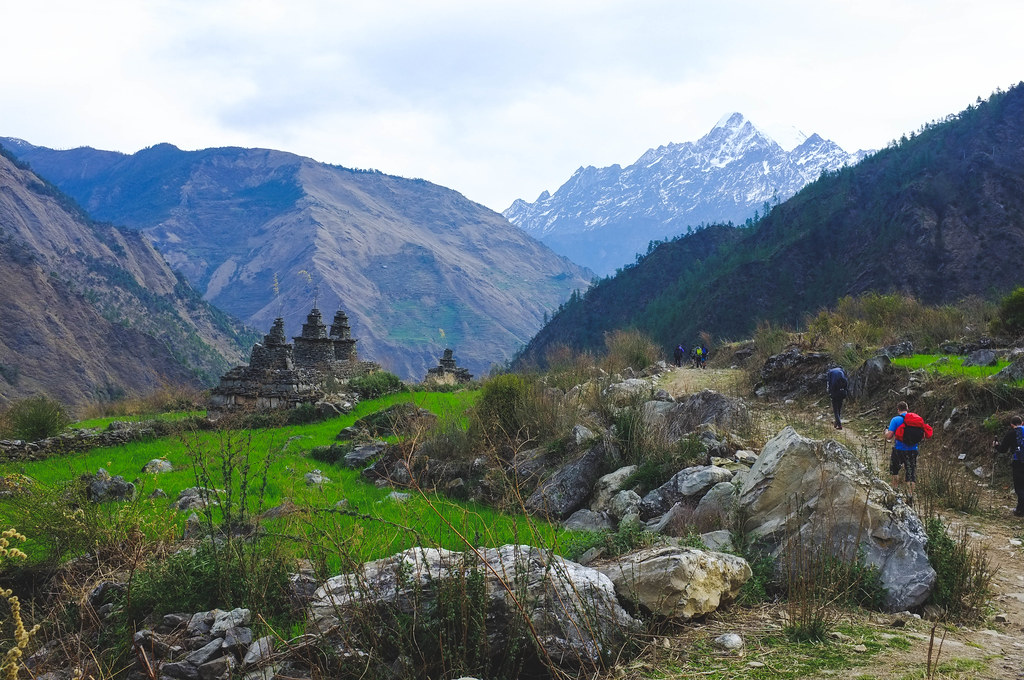
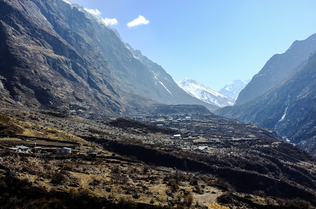
From here on is a few hours walk on dirt road, passing by Goljung, to the village of Gatlang. And it is quite a view. Nestled in between two mountain ranges and surrounded by rice terraces, the village can be seen as a cluster of houses with wooden roofs.
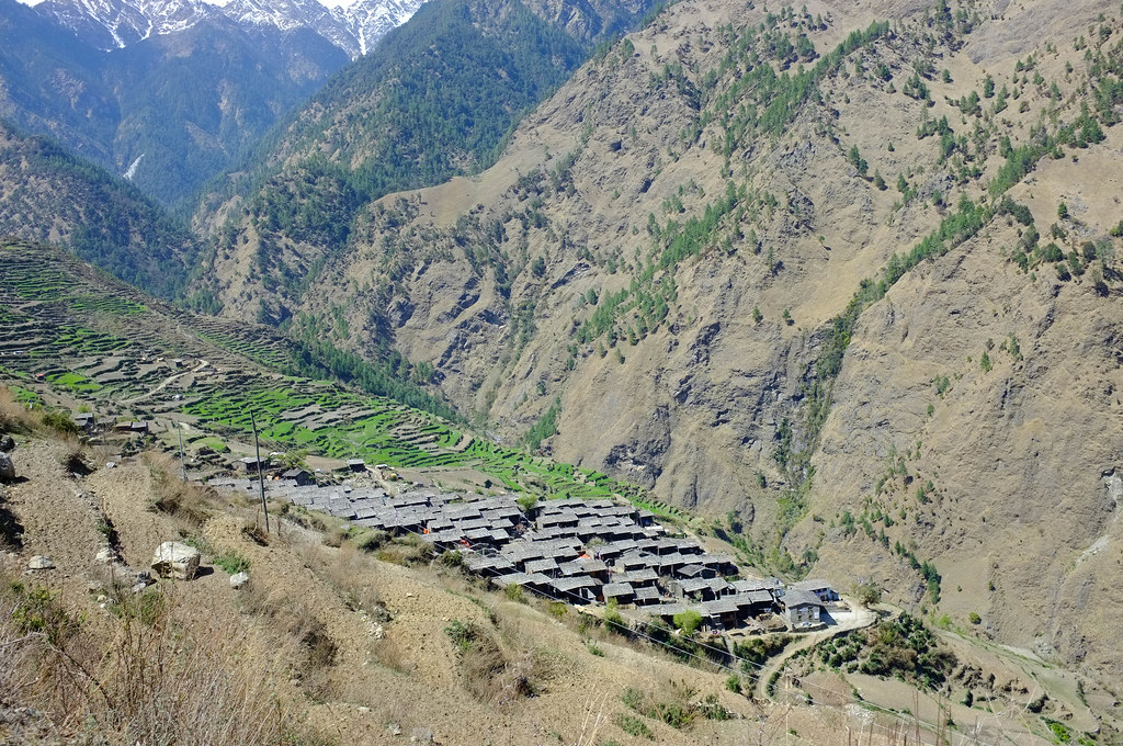
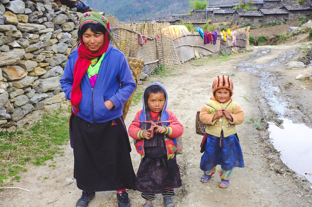
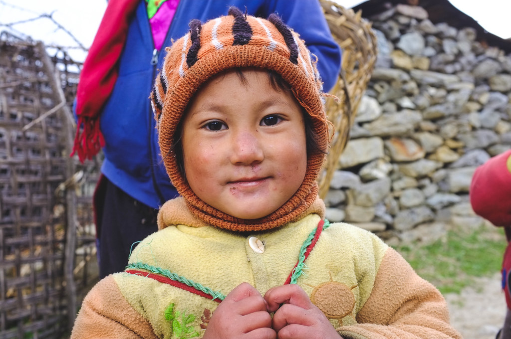
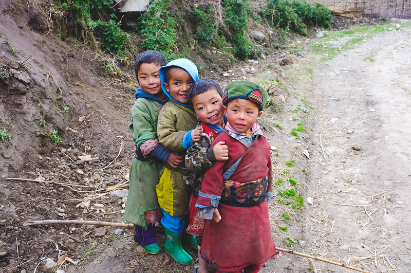
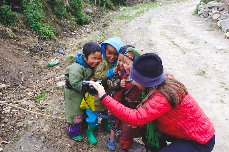
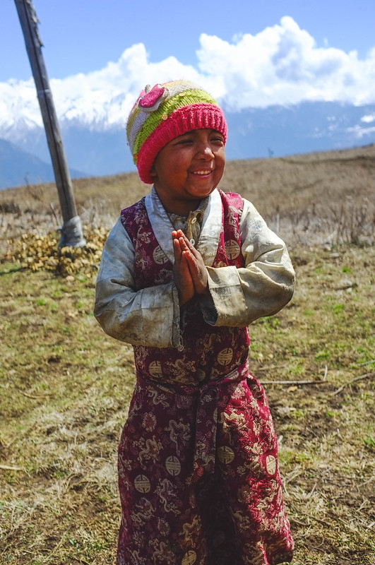
We made it to a teahouse right above the village just after noon. After having lunch, we made our way down to the village. We passed by small traditional houses with beautiful carved windows. Men doing work on fixing the dirt road, and women weaving outside of their houses and the children! The playful and happy children who’d take your hand and walk and play with you.
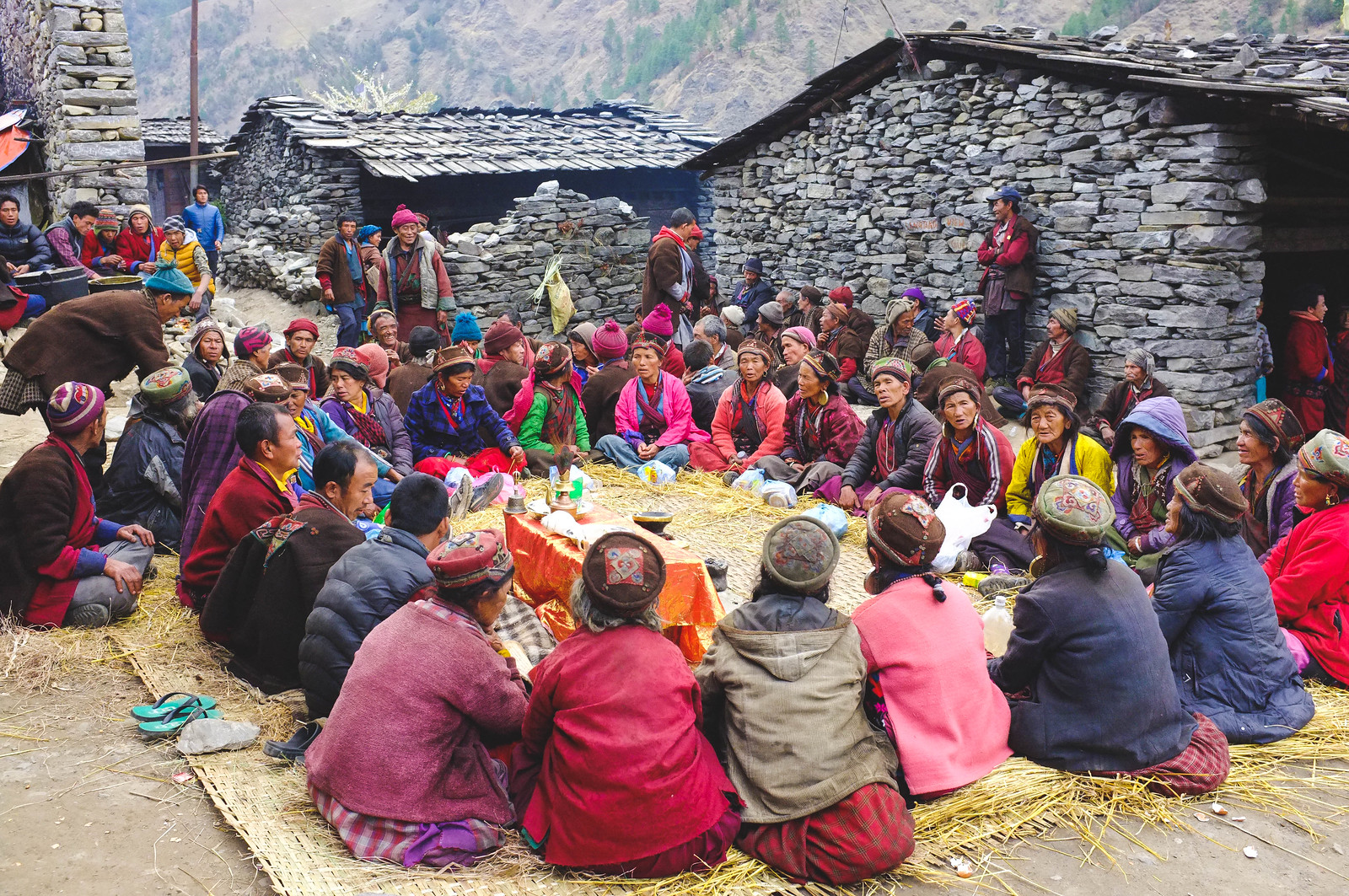
We were also very lucky to have witnessed a ghewa ceremony, or the 40th day mourning ceremony, of two elders in Gatlang village. The feisty and playful children we encountered on the dirt road took our hands and lead us to the ceremony. At first, an inebriated elder approached us laughing. We really couldn’t understand what he was saying. Then Nobien, the principal of the school, approached us and apologized and invited us to come closer to the ceremony. He explained that the ceremony was for both his grandparents. He invited us to the small monastery where some of the monks reside, and where the altar for his grandparents were. They offered us food and wine, and we really felt welcome in that village. That night we went back and it would prove to be one of the most special moments of my life.
There were only four of us trekkers in that celebration that night. We formed a big circle, held hands and danced with the elder women. We would laugh with them as they teach us the chant and the dance steps, it took a while but slowly we got the rhythm. I cried a little that night as we were dancing, out of joy and gratefulness. The experience felt so surreal and so special. It's one of those moments when I knew that I was right where I should be at that certain point in time, there was nowhere else I wanted to be that night.
Day 3: Tatopani (2607 m) to Nagthali (3165 m)
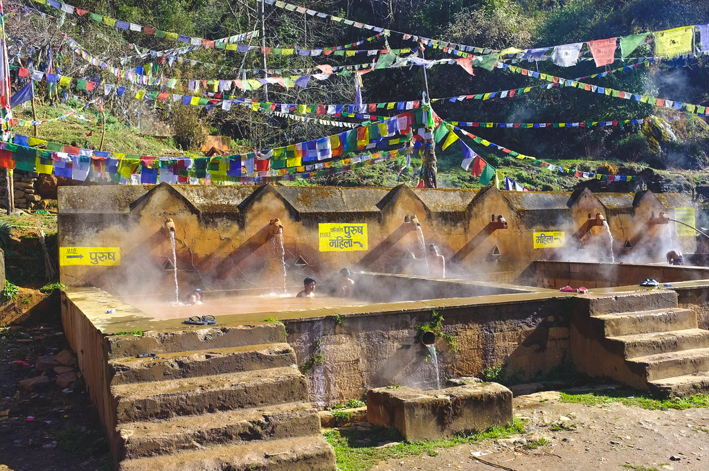
We started the day from the village of Tatopani at 2600m and stopped in Nagathali village at 3100m for lunch and to settle in our rather cozy (read: small) teahouse.
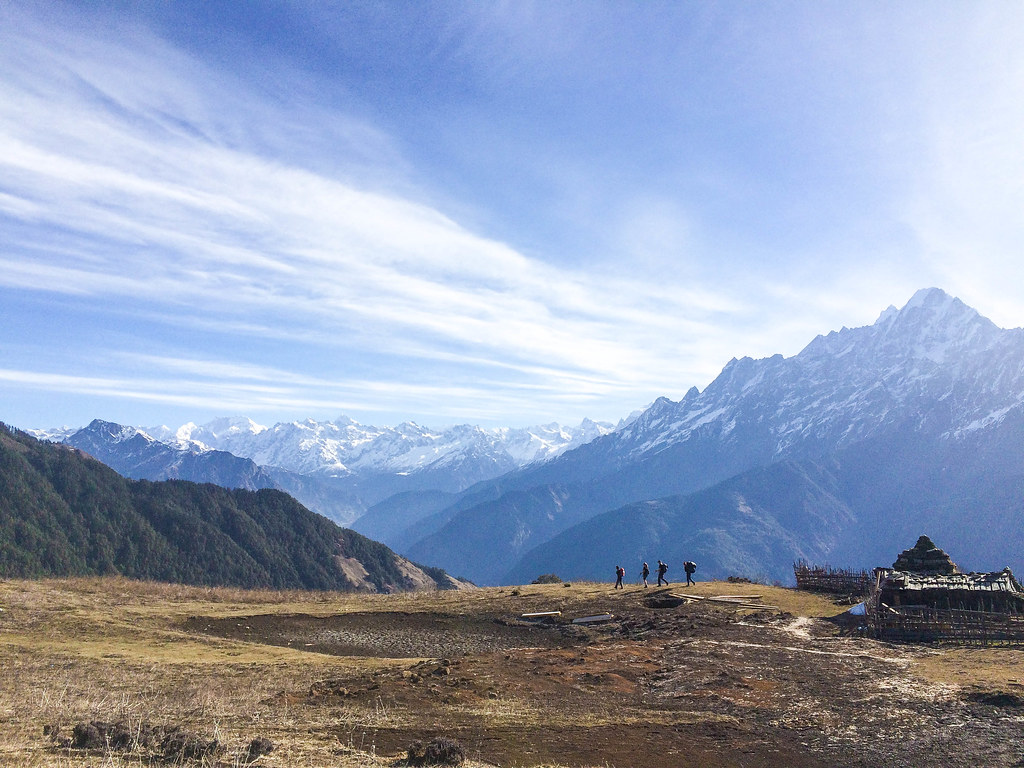
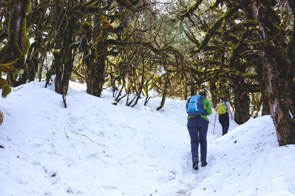
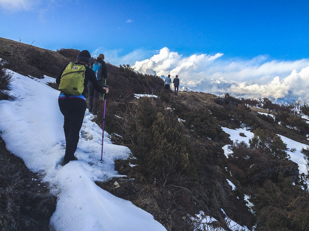
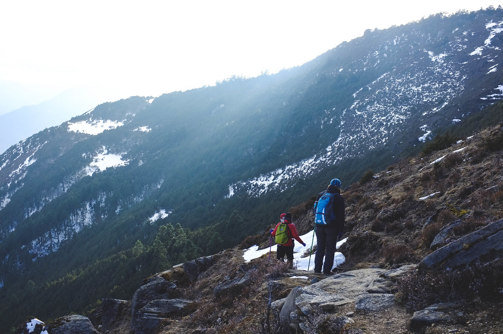
In the afternoon, we started our trek up to Nagthali Hill passing by freshly snow-covered forests that looked so magical for a tropical girl like myself; then through the mountain’s cliff side spotting deers as we went up.
But it wasn’t easy for me as we were climbing up 3600m. I had to stop frequently for water breaks and to pace myself. Like so many times in the Himalayas, I never really thought I’d make it to the top. But I did. I don’t know if and when I’ll ever get to travel to Tibet. But that challenging day hike gave me the chance to see a tiny part of the country. It was more than what I had expected.
The night turned out to be one of the most memorable, more like embarrassing, night in all my trekking days in Nepal. Aside from the altitude, one of the challenges of trekking in Nepal is the need to pee even at night due to the amount of water one intakes to fight altitude sickness. I woke up a little after midnight since Marleen was having a hard time closing our door. I already figured out how to do it so I volunteered to do it and decided to go the toilet too. The toilets in most of the teahouses in Nepal are outside the rooms. In our teahouse in Nagthali, it was separated from the rooms. There were two cubicles made up of tin and had squat toilets. To prevent the doors from opening due to strong winds, as Nagthali is at the top of a hill, it had a small rectangular piece of wood to lock it when you get out. Unfortunately for me, a wind or probably just a breeze, moved that piece of wood and locked me inside the toilet. I wasn’t panicking at first, I tried to open the door slowly many times in attempts to move the lock. When that didn’t work, I used the handle of the toilet brush as there was a small space enough for it to fit. Then it broke. Twice. That’s when I panicked. I started shouting for help. Yes, it was a good few meters away, not from our room, but from the room where two old English gentlemen were sleeping. After a few minutes of shouting, I heard Marleen shout “Okay, I hear you. I’m coming.” And the laughter ensues. Also during breakfast when the English gentlemen told me that they heard me and thought at first that they were dreaming.
Day 4: Nagthali (3165 m) to Briddim (2229 m)
It was a steep trail going down from Nagthali to the highway connecting Nepal to Tibet. The first part was on snow turned to dirty ice, then on dusty loose soil. I felt bad for those doing the trail the opposite way.
Day 5: Briddim (2229 m) to Thangsyap (3205 m)
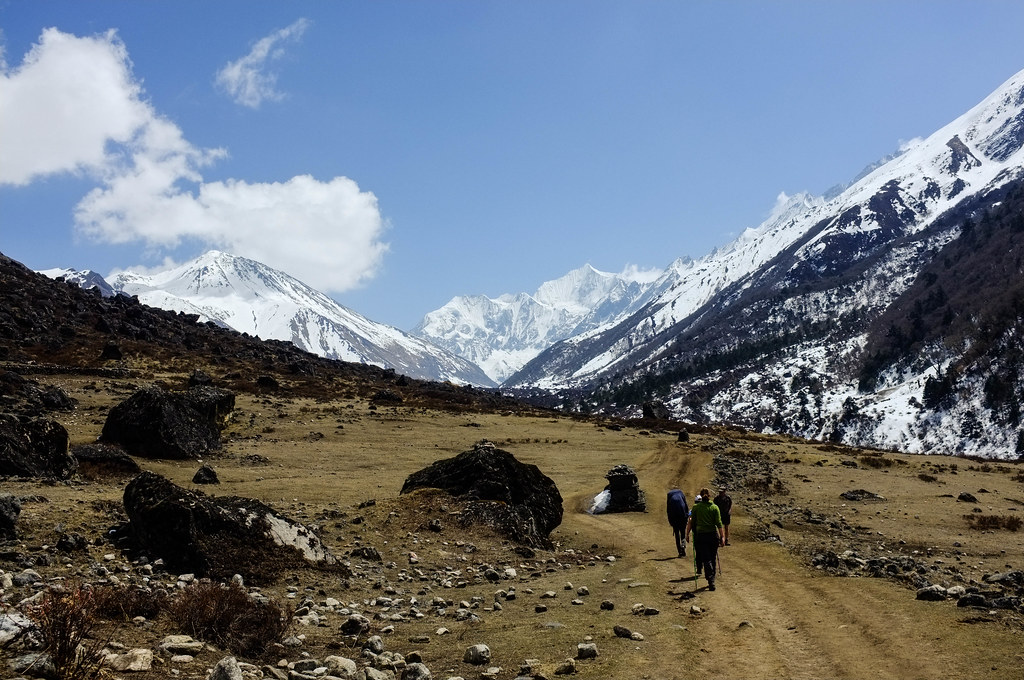
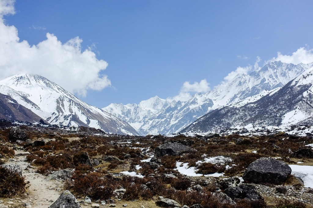
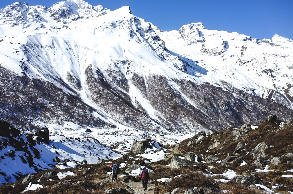
Langtang
It was my third time trekking in Nepal, and still I was amazed by the beauty of the Himalayas and the warmth of its people and the whole of the trekking community.
That’s why it was so heartbreaking when I saw news of the April 25 earthquake. The avalanche that completely wiped out the whole of Langtang Village, the homes destroyed in the village of Gatlang and all the other we passed by during our trek. To recognize a villager and a guide I met during my first trek in Langtang back in 2013.
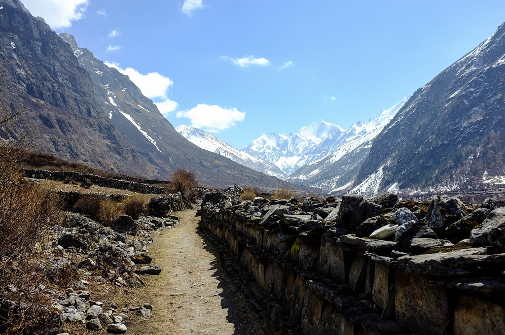
The April 25 earthquake displaced people from the place they’ve called home since they were born, destroyed their gompas and mani walls, and took away their loved ones in a matter of minutes.
The villages in Langtang Valley trek, Tamang Heritage Trail, and the whole of Rasuwa are some of the badly hit areas in the Nepal April 25 quake.
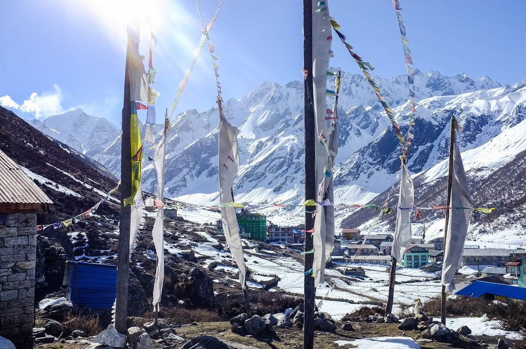
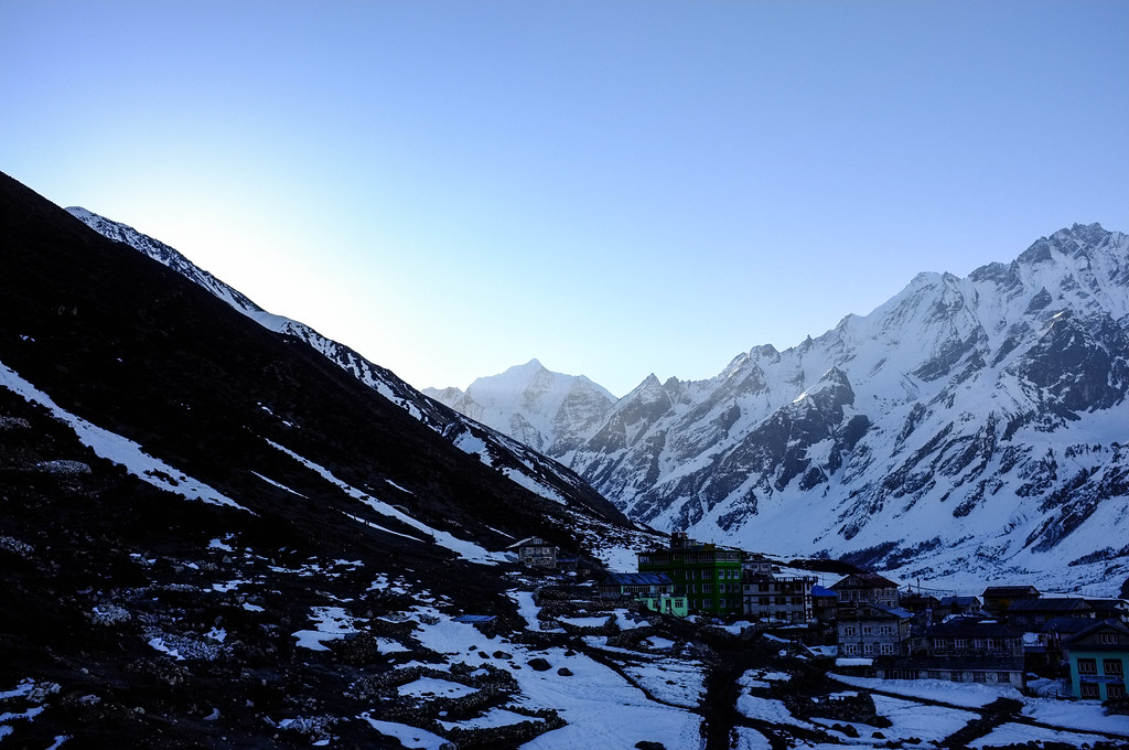
sunrise in Kyanjin Gompa
Please support the people doing groundwork in the rebuilding and reconstruction of these areas.
The Langtang Disaster Relief Fund: http://langtangdisaster.org/en/
The Rasuwa Relief Team: http://gofundme.com/tza23tg

Social Icons